
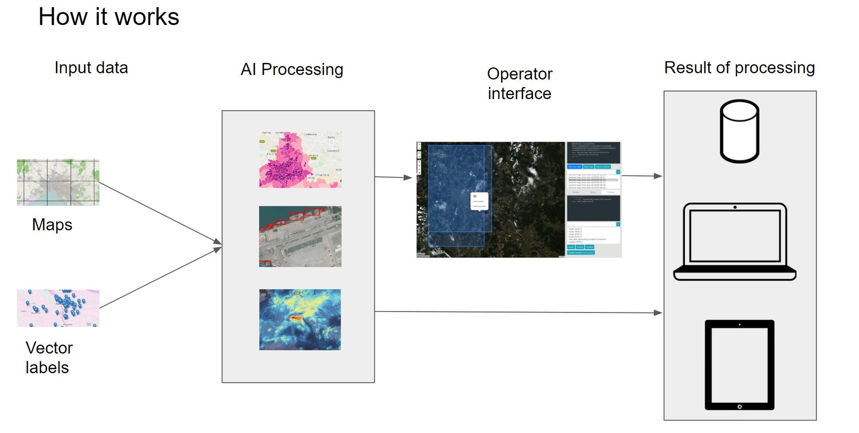
AI Map Processing System
The system processes data from satellites and unmanned aerial vehicles with the use of AI models. Works with all main GIS* formats and data delivery services.
*geographic information system
Detection, identification and monitoring
Forest watch
Detection of illegal logging activities for sustainable forestry
Disaster alert
Advanced monitoring of natural disasters using AI for timely response and mitigation
Facility Guard
Real-time AI analysis of changes in industrial, construction, and agricultural sites for enhanced safety and productivity
Prediction and approximation
Ecology Scan
Prediction of pollutant concentration (greenhouse gases, suspended particles)
Disasters
Tracking of natural phenomena and disasters (wildfires, tsunamis, landslides, etc.)
Disaster impact
Assessing the damage caused by natural disasters
Environment
Moitoring average UV radiation index and vegetation index
System application examples
Construction progress tracking
Monitoring of construction and installation works progresses according to plans, forecasting of deadlines. Coordination of construction works. Generation of a construction progress report from the platform interface.
Pavement
Industrial facilities
Lines of communications
Construction camps

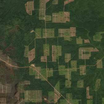
Detection of illegal logging in forests
Regular AI analysis of satellite imagery to track tree cover change over large areas
Correlation of detected deforestation with the registry of officially registered
Automatic calculation of the detected deforestation area
Environmental issues detection
Scanning rivers, water reservoirs or other objects of interest for environmental anomalies. Assessment of the state of landfills and the efforts of volunteers to clear river banks.
Fast response to environmental issues
Detection of waste dumps on river banks
Detection of landfill state changes
Estimation of the amount of waste
Possibility to connect an operator who checks the information before raising the "red flag"

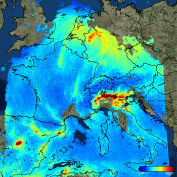
Air pollutants level prediction
Assessment of air pollutants level using satellite data (CO2, NO2, SO2, etc.).
Prediction of air contaminants
Monitoring compliance with environmental standards
Applicable at any location (except indoors)
Detection and further monitoring of environmental anomalies
Segmentation of satellite images and UAV data
Segmentation of objects: roads, rivers, material accumulation zones
Create segmented maps quickly
Updating of maps of places of natural disasters, festivals, construction facilities.

Geo system advantages

A collection of off-the-shelf ML algorithms for fast integration in your infrastructure
The graphical operator interface and embedded widget of interactive maps allow you to quickly assemble the service
Flexible customization for any data array and customized ML customer models
Expertise of the development team in processing data from satellites and drones
Map processing tasks
Classification
Grouping of monitored objects by their common characteristics
Regression
Prediction of target object variable, e.g. UV radiation index
Detection
Automatic detection of the target object on the map
Segmentation
Partitioning a digital image into multiple segments such that pixels with the same label share certain characteristics
Component features
Embeddable interactive widgets
Works with a wide range of GIS formats
Adaptive assessor and research interface customizable to customer needs
Pre-trained models for classification, detection, regression and segmentation

Interested in Exploring More?
Whether you're seeking additional industry examples or wish to discuss a specific case in detail, we're here to help. Contact us to start the conversation and discover how our solutions can meet your needs.
